Cutting edge information delivery service
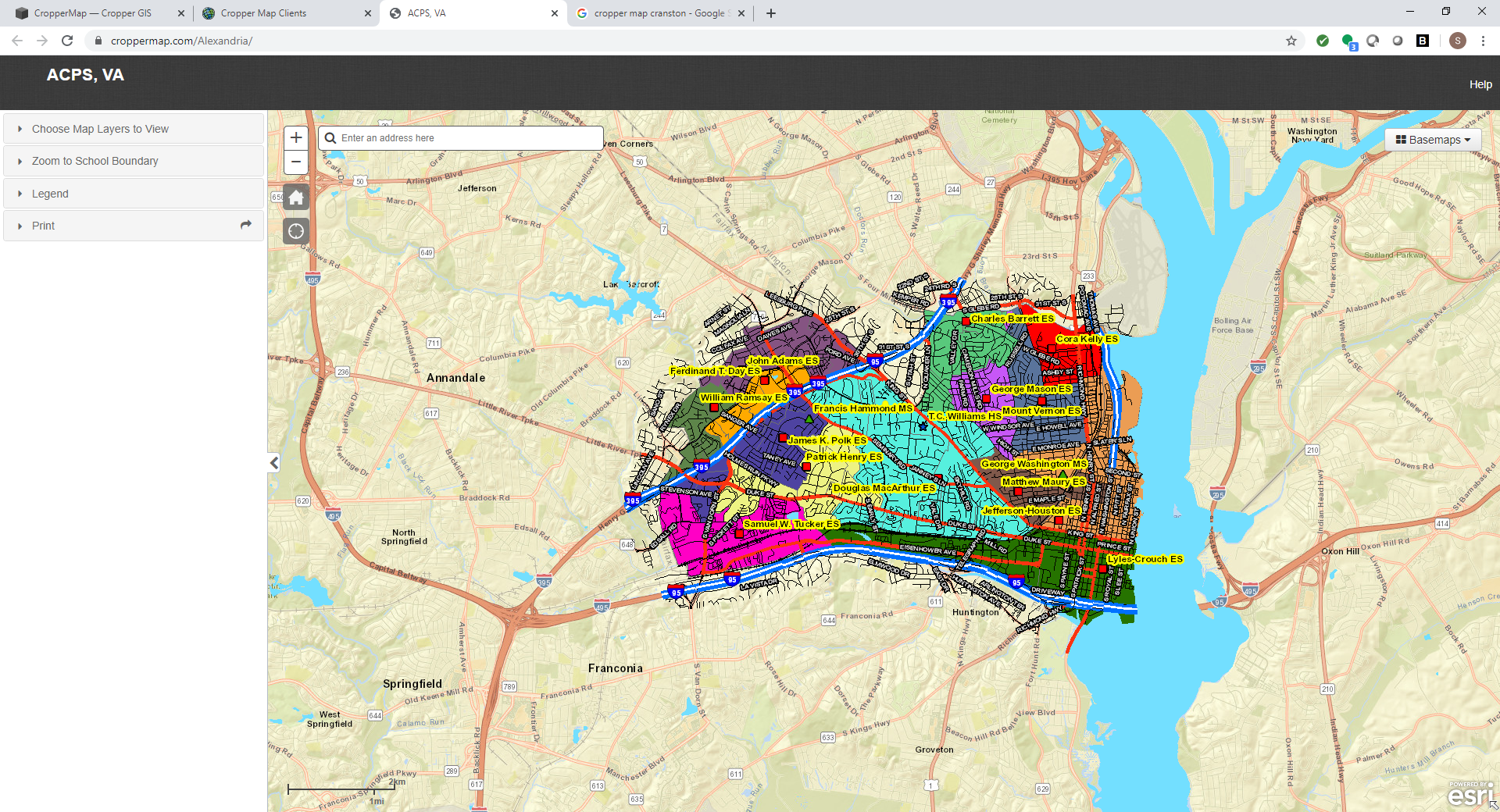
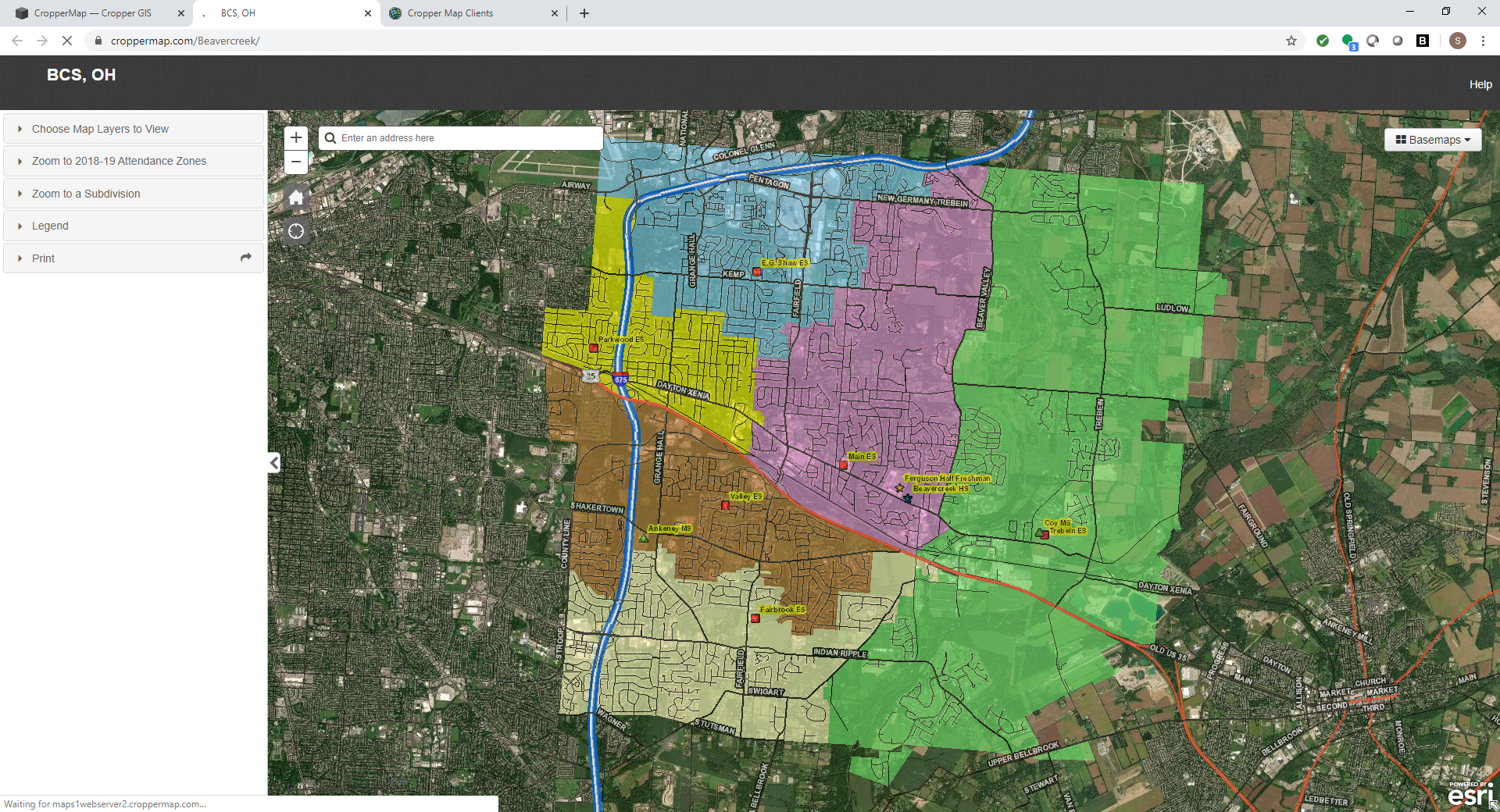
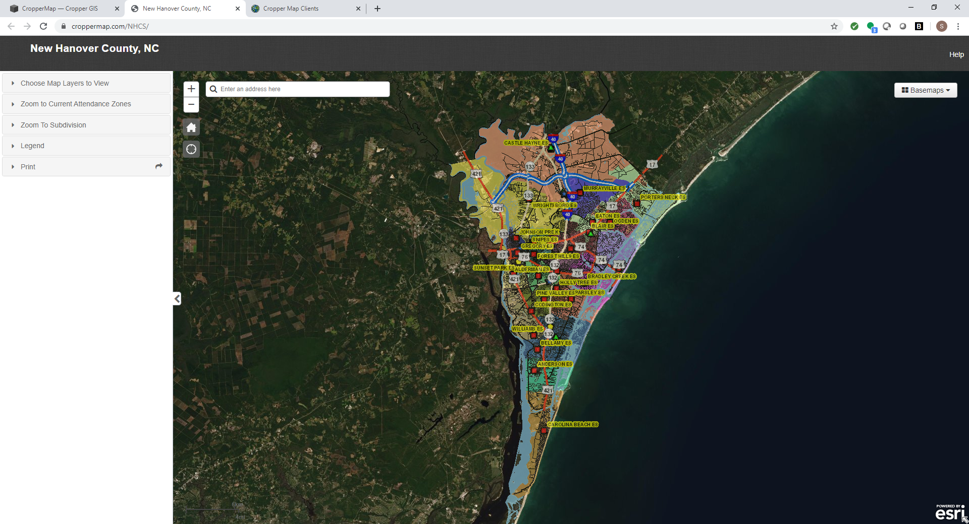
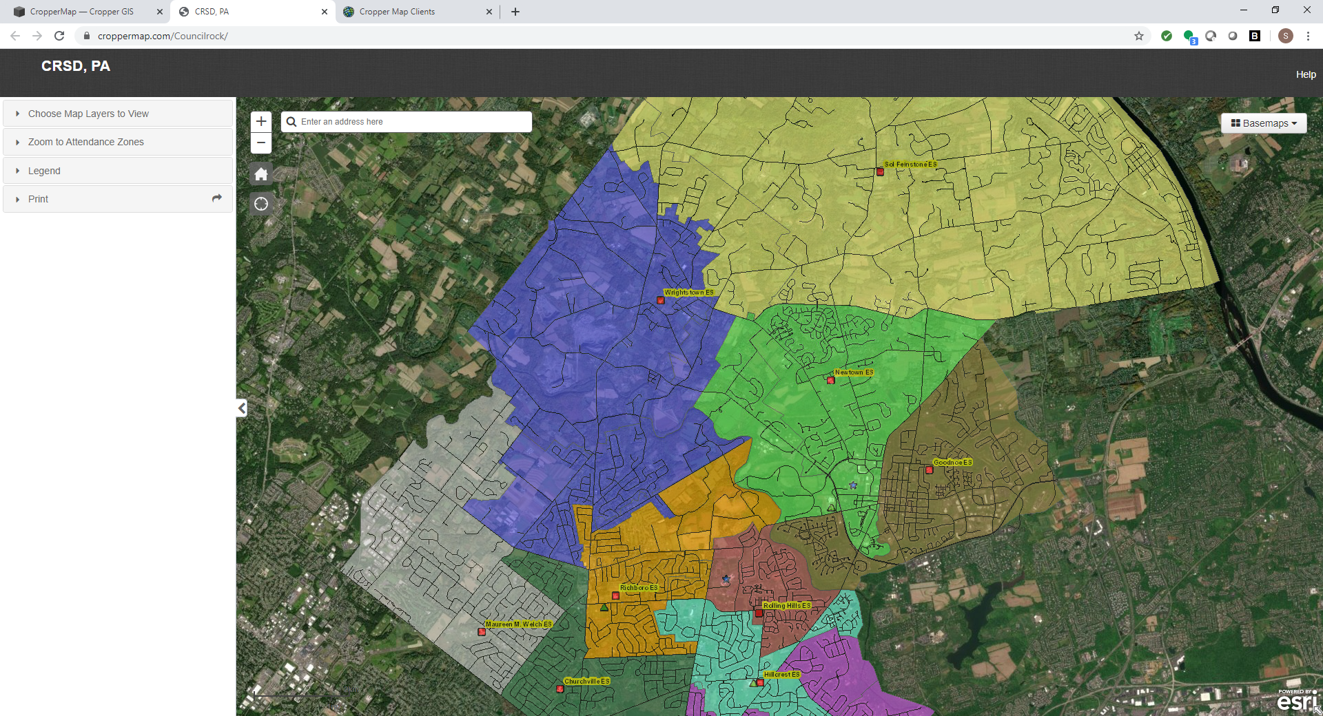
With use of cutting-edge technology, Cropper Map enables its clients to view information about their area without having to be constrained by the old methods of delivering maps. With Cropper Map anybody is able to view maps over the internet, while still having the option to provide secure data to select users. Please take a moment to view our sample map and see what Cropper Map can do for your organization.
The Power of Cropper Map
Community
View local data on the map that relates specifically to your user or viewing base; such as property lines, school locations, bus stops, medical facilities, or retail locations.
Regional
View regional data related to the area, including municipality borders, water bodies, roads, and other geographic features.
National
View national data in relation to your area, such as U.S. Census Bureau Demographics.
Global
Utilize global imagery and elevation data on your site to help understand what is actually on the ground!


